
APK संस्करण
APK फ़ाइलें मूल रिपॉज़िटरी से मिलती हैं।
संस्करण में बदलाव
v4.29.0: OpenTracks Changes: - Removed "Export all (one file for all tracks)" functionality For KML/KMZ, the markers are exported in such a way that on import OpenTracks cannot determine to which track a marker belonged. Recommendation for backups: use KMZ with one track per file.
SHA-256 चेकसम
f63ed60e2a4f1b3d878671bfde2150ceaa89e484618b91390500e1a583694cc1संस्करण में बदलाव
v4.28.3: OpenTracks Changes: - Settings: allow to disable segment creation (max recording distance) - Importer: match activity type case-insensitive - GPX: export moving speed in summary Bugfix: - GPX: importer must respect namespace prefixes
SHA-256 चेकसम
bccb5d20069e2a19fb65a9eb5e74534cfc449ea8ef52bcbfb08cef9c4b5c0cc7संस्करण में बदलाव
v4.28.2: OpenTracks Changes: - Import: ignore GPX waypoints without time Bugfix: - Only start GPS once
SHA-256 चेकसम
cc5331501c8ead6e015e8b8318559d2cb863c3e05ec9a7145592802a32efb9ecस्क्रीनशॉट




इस ऐप के बारे में
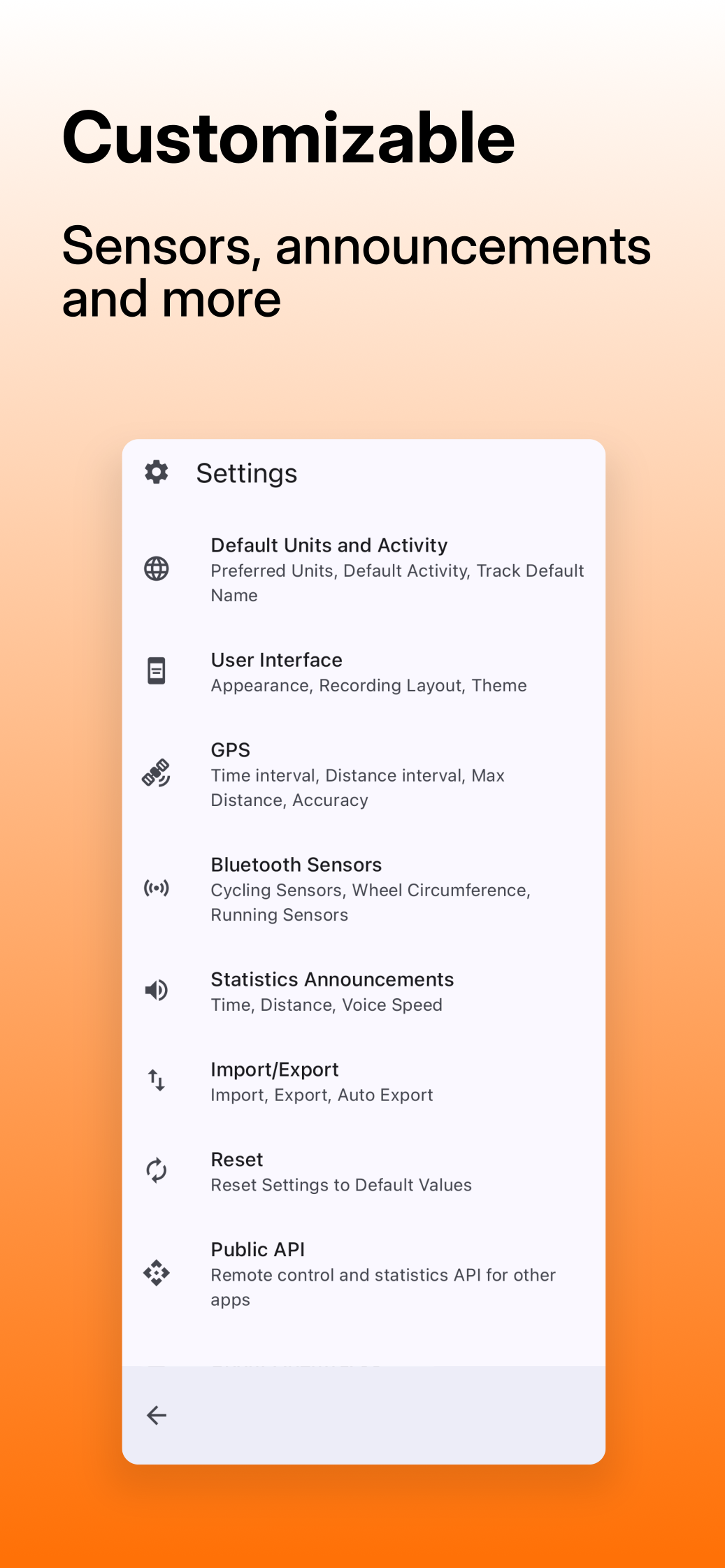
मूल विवरण अंग्रेज़ी में हैA sport tracking buddy that respects your privacy. Sport and outdoor activities grants happiness, skill and confidence. Value your health by keeping track on your training. Records as you go running or walking, and gives you a bike computer with a bigger screen for cycling. Mark interesting locations along your way with pictures. Keep recorded statistics in great detail for analysis. Share only the data you want others to have. * Voice announcements. * Supports Bluetooth LE sensors: heart rate, speed and distance (cycling), cadence (cycling), and power meter (cycling). * Altitude gain and loss: via barometric sensor. * Altitude shown in EGM2008 (above mean sea level); exported as WGS84. * Export data as tracks either as KMZ (incl. photos), KML, or GPX. * No Internet access or extra permissions. * Dark and light theme, respecting system settings. * No ads. Libre software / Free Software / Open Source meaning you can use, study, change and share the source code. Licensed Apache 2.0
संबंधित ऐप
और देखें
Bati: Fitness RPG
Role-Playing GameTurn workouts into quests, boss fights and a village built by your training.

GymMane
DietDark, offline gym log. Tap the muscle, log your sets, watch your numbers move.

Quitter: Habit Tracker
Habit TrackerTrack quitting progress, milestones, journals, and recovery reminders.

Path : Step Counter
Sports & HealthLightweight, privacy-first step tracker. No tracking, no ads, 100% open source.

Bike Radar
Sports & HealthOverlay and audio alerts for BLE bike radars. Offline, no account, no cloud.

काउंटर
Sports & Healthटैली काउंटर जो गिनती को आसान बनाता है।

PAIesque
ConnectivityPrivacy-first fitness tracker with end-to-end encrypted group sharing

Gravel
ConnectivityA de-googled, hardened fork of the Pebble companion app for de-googled phones